Phase I: Research
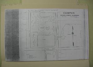
I began the project by digging through the Library's archive of Georgia Tech maps, digitally photographing as many as I could find. I quickly discovered that the archive only had maps going back to the beginning of the century, so I revised my initial plan to start the map at Georgia Tech's founding in 1885. I also noticed that the farther back in time I went, the more simplistic the maps became, so I knew I was limited in the amount of information I could display easily.
This was the most tedious part of the project, and it took several hours to complete. However, by the time I was done, I had over 300 photographs of maps, keys and additional information that would help me develop the most comprehensive historical map possible.
